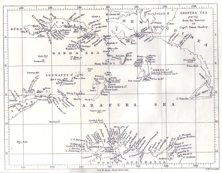
Arafura Sea
Bordered by the Gulf of Carpentaria and continental Australia to the south, the Timor Sea to the west, Torres Strait to the east and New Guinea, Banda and Seram to the northwest, the Arafura Sea lies west of the Pacific Ocean, overlying a section of the Sahul Shelf between Australia and western New Guinea. The Arafura's 650,000 square kilometres are generally shallow, with depths between 50 and 80 metres, deepening at its western extremity.
During the last glacial maximum, lower sea levels saw the Arafura Shelf, the Gulf of Carpentaria, and the Torres Strait combine to form a land bridge connecting Australia and New Guinea. The combined landmass formed the Sahul continent and facilitated human migration from Asia into Australia. It appears to have had an arid climate before the postglacial rise in sea levels, which created numerous uncharted shoals that represent significant hazards to navigation.
Despite suggestions that Arafura derives from the Portuguese Alfours ("free men"), the text on Joan Blaeu's wall map of the East Indies (Archipelagus Orientalis, sive Asiaticus, 1663) reported that the inland inhabitants of the Moluccas call themselves Alfores.
Links to add:
Arafura Shelf
Joan Blaeu
Last glacial maximum
Sahul Shelf
Timor Sea